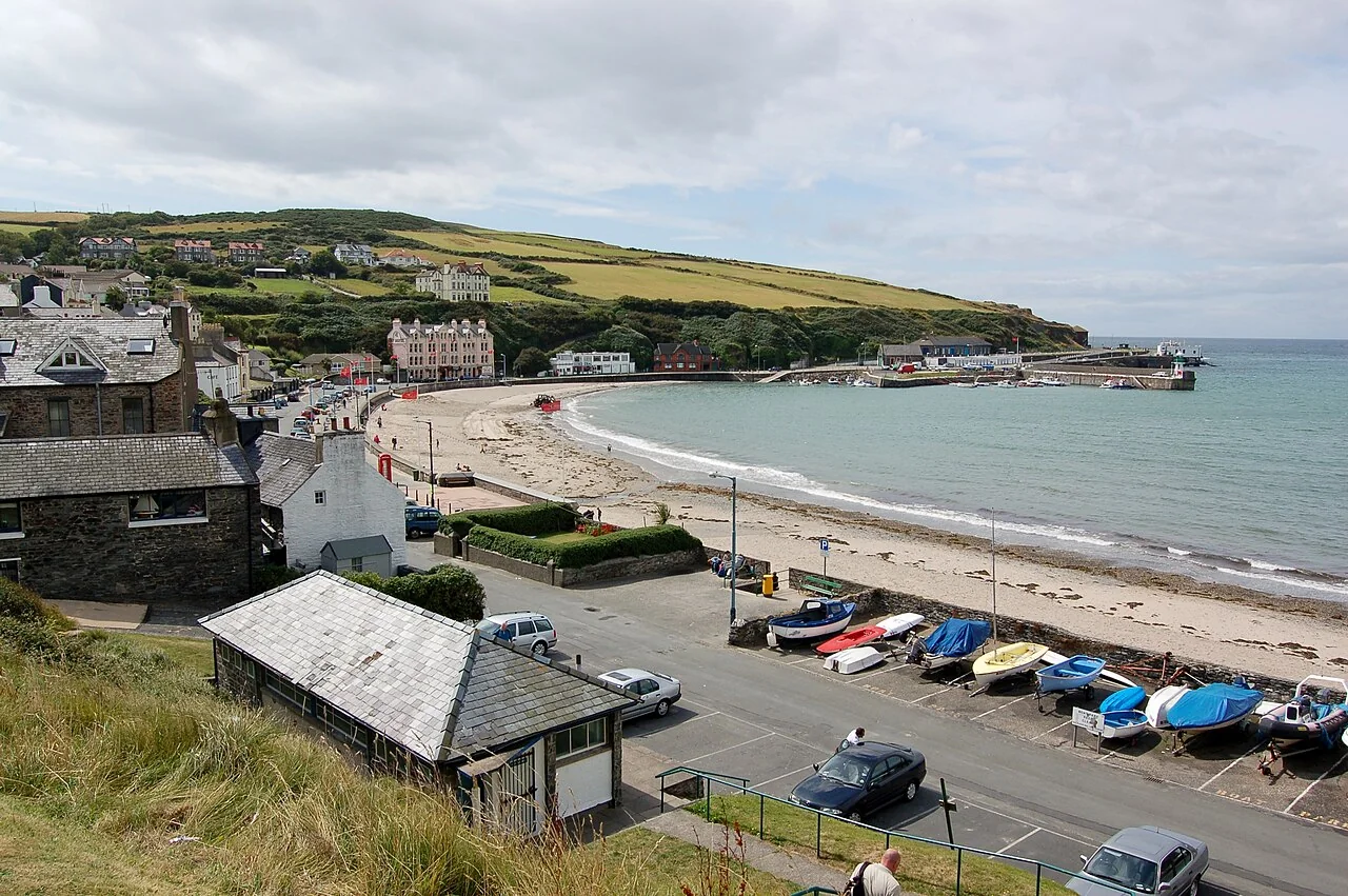

Choose an Isle of Man coastal walk by terrain, distance and transport, rather than a photograph alone. The Raad ny Foillan circles the island in roughly 100 miles, but its sections vary considerably. Port St Mary to Port Erin is a substantial southern cliff walk; Langness offers shorter mapped circuits; northern beach routes can depend on tide. Check current closures and the official route, then arrange your return before starting a linear section. Short distance does not necessarily mean easy ground.
Choose the kind of walk before the destination
Decide whether you want a gentle town-shore outing, a few hours on rough paths or a full walking day. These are different plans, with different footwear, weather and transport needs. A route described as short can still involve steep drops to a cove, slippery steps or exposed sections that make it unsuitable for the group you are travelling with.
Read the route direction and start point, then check whether it is circular or linear. Keep an official map available and look at current access notices before leaving. The tourism walking index directs walkers to closure information; a past blog or downloaded leaflet should not override a present-day closure.
| Your priority | A route to investigate |
|---|---|
| A mapped shorter peninsula circuit | Langness |
| A substantial southern coastal day | Port St Mary to Port Erin |
| A west-coast linear walk | Niarbyl to Peel |
| Rail out, walk back towards Douglas | Port Soderick to Douglas |
| A northern shore section | Point of Ayre to Ramsey, with tide and transport checks |
Port St Mary to Port Erin: a proper walking day
The official Port St Mary–Port Erin section is about 11 kilometres or seven miles and graded moderate. It follows the southern coastline towards the Sound before reaching Port Erin. Historic villages and wildlife interest add to the scenery, but the path itself should remain the day’s main commitment.
Expect steep, narrow and exposed sections rather than an uninterrupted level track. Strong wind changes the experience, and the official route excludes dogs on the stretch between the Sound and Port Erin. Do not turn an optional detour into an unplanned extension late in the day. Work out your bus, train or pickup arrangement before starting, then allow time for pauses without missing it.
Langness: a shorter route still needs a map
The Langness and Derbyhaven nature walk offers a shorter circuit of around 1.5 miles and a longer option of around four miles. These make the peninsula useful when you want a defined coastal outing instead of a long linear stage. Check which route and parking/start point you are following before setting off.
The landscape includes unsurfaced, grass, sand and shingle sections, with mud possible. The lighthouse is a landmark on the route, not a promise of an open visitor tower. Give the walk its own time rather than rushing it after a long castle visit in Castletown, and keep the group together on the mapped public route.
Niarbyl to Peel: solve the return first
The official Niarbyl–Peel route is about ten kilometres or six miles, graded moderate, with coastal terrain, stiles and an initial road section. Reaching Peel at the end can make a satisfying finish, but the walking day begins with deciding how to reach Niarbyl without leaving a stranded car or an uncertain connection.
A short viewpoint visit at Niarbyl is not the same commitment as this walk. Nor is it the same as the much harder south-west summits circuit, which the tourism authority describes as a full, difficult day. Choose one route deliberately. A relaxed morning in a castle and an extensive summit hike do not become a sensible combination merely because both appear on a west-coast map.
Northern shores and railway-linked alternatives
The Point of Ayre–Ramsey section is about nine kilometres or 5.5 miles. Its shore below eroding cliffs is affected by tide, and the official notes identify no direct bus at the lighthouse. A leisurely grading is not an assurance of step-free ground or simple public transport. Check tide access and organise the start or pickup.
For a different linear plan, the official Port Soderick–Douglas ramble uses the steam railway outward and returns towards the harbour on foot. Dhoon Glen, on the electric route, is another option for walkers, but its short circular route is steep and can be slippery. Use our heritage railway guide to match an actual service with the walk you select.
Walk the Raad ny Foillan in sections
The Raad ny Foillan is the island’s nearly 100-mile coastal path. Treat it as a varied long-distance route, not a circular promenade of uniform difficulty. You can enjoy one well-chosen section without committing to the full circuit; consecutive stages require accommodation, food and luggage plans as well as walking fitness.
For a longer holiday, decide whether to move accommodation or use a base with arranged transfers. A guide can help with route choice and local interpretation, but still check the promised distance, terrain and pickup arrangements. Carry what your chosen section requires, respect livestock and wildlife, and follow signs rather than trying to improvise around a closed path.
Your questions, answered.
Is the Raad ny Foillan easy to walk?
Difficulty varies by section. The route includes rough, steep and exposed coastal terrain as well as gentler stretches. Select a section using its official distance, grading and access information.
Can I walk from Port St Mary to Port Erin with a dog?
The official route states that dogs are not permitted on the section between the Sound and Port Erin. Choose another suitable route rather than assuming the full coastal stage is dog-friendly.
Can I use public transport for coastal walks?
Some routes pair well with buses or seasonal railways. Check the exact start point and return service first; remote coastal locations do not necessarily have a direct or frequent connection.
Check the details that can change.
Operator and official sources checked on 16 October 2026. Routes, access, opening days, fares and entry requirements can change. Use the links below for your travel dates. Suggested pacing and base comparisons are our editorial judgement; this is not a firsthand property or tour review.
- Visit Isle of Man: Raad ny Foillan overview
- Visit Isle of Man: walking and current access information
- Visit Isle of Man: Port St Mary to Port Erin
- Visit Isle of Man: Langness nature walk
- Visit Isle of Man: Niarbyl to Peel route
- Visit Isle of Man: south-west summits route
- Visit Isle of Man: Point of Ayre to Ramsey
- Visit Isle of Man: Port Soderick to Douglas
- Visit Isle of Man: Dhoon Glen
- Visit Isle of Man: Glen Helen closure